by Intellic Technologies
Share

To paraphrase a wise saying: It takes a village to train a successful aerial firefighter.
At Intellic, we’re building a better village with the assistance of Artificial Intelligence (AI).
It takes a lot of hard work to create a realistic scene in our FS3D catalog of fire scenarios, but AI is making the job easier.
At Intellic, it’s not enough to simply populate a fire scene by copying and pasting generic foliage and arbitrary waterways. In order to make good decisions on where to set up dip or snorkel sites and scooping routes, pilots and aerial supervisors need to have scenery that accurately reflects the very conditions they’ll be seeing from the cockpit; that includes foliage and water routes indigenous to the areas depicted in the simulation. To help us achieve this, we’re utilizing the benefits of machine learning and image recognition that AI offers.
It works like this: Our scenery team takes images provided by the U.S. Geological Survey (USGS) and places “markers”, or “sample points”, on areas of foliage and waterways. These indicate to the AI engine “what” goes in that spot and “where” that spot should be. This happens on a number of USGS images to facilitate the machine learning, helping it to get “smarter”.
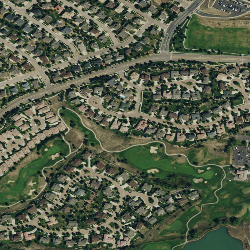
Sample image used to detect vegetation
AI then uses this information along with infrared and commonly accepted indexes to create an algorithm indicating where items should be placed for best results. These results are matched up against USGS Land Cover Data to determine what type of vegetation should be placed in the environment (conifer trees, broad leaf, brush, etc.).
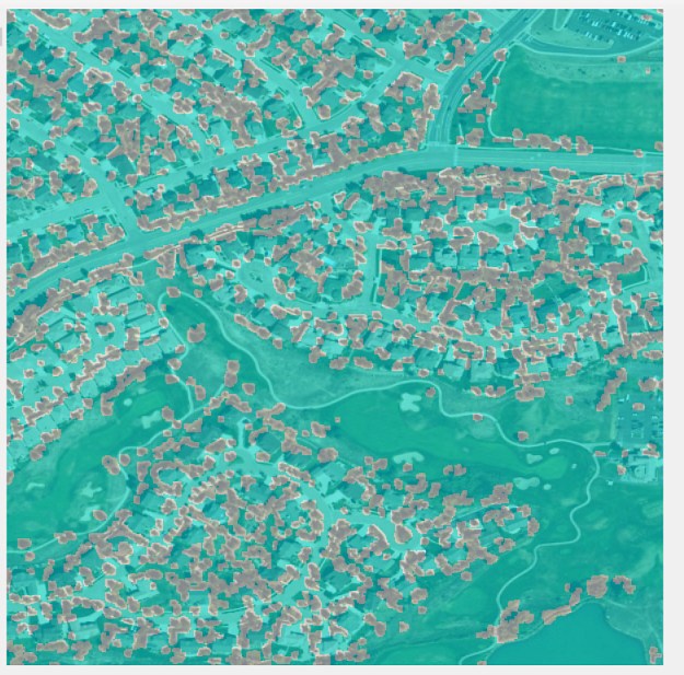
Image after AI detects vegetation
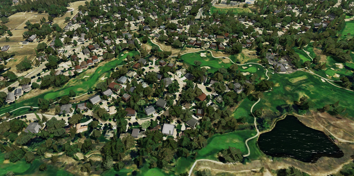
Final results as seen in simulation platform
This process also works on determining the locations for creating waterways, such as lakes, rivers, and shorelines.
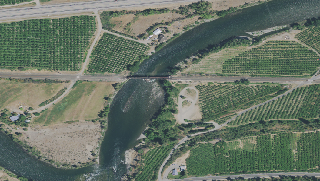
Sample image used to detect water
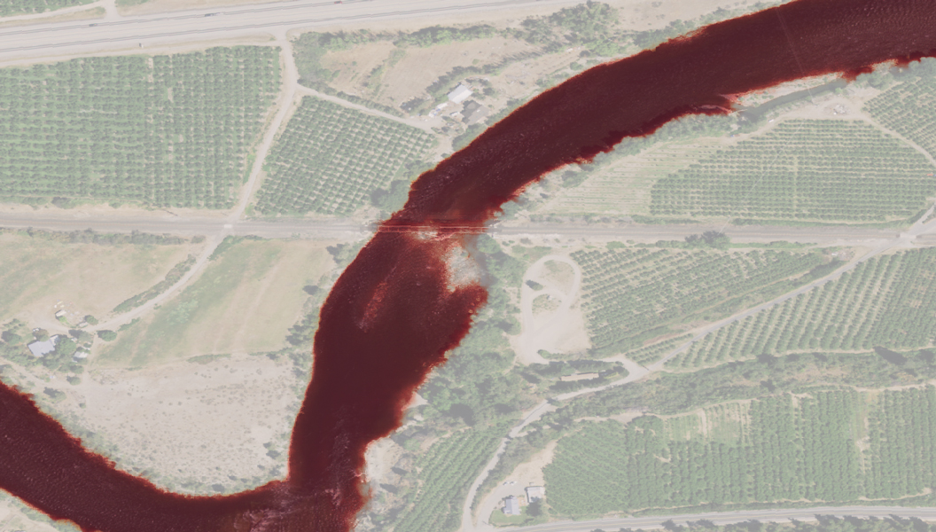
Image after AI detects water
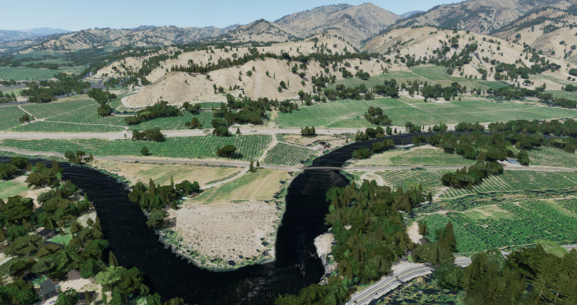
Final results as seen in simulation platform
No other open-world training simulation platform offers the three-dimensional realism and accuracy of detail from all perspectives on the geographic scale that FS3D does. By teaming human intelligence with fire intelligence and artificial intelligence, Intellic Technologies has enabled truly accurate recreations of wildland fire scenarios anywhere in the world.
The result: Better village means better aerial firefighters!
Matching funds will allow software innovator to reduce training costs and improve the safety, effectiveness and efficiency of wildland firefighters.
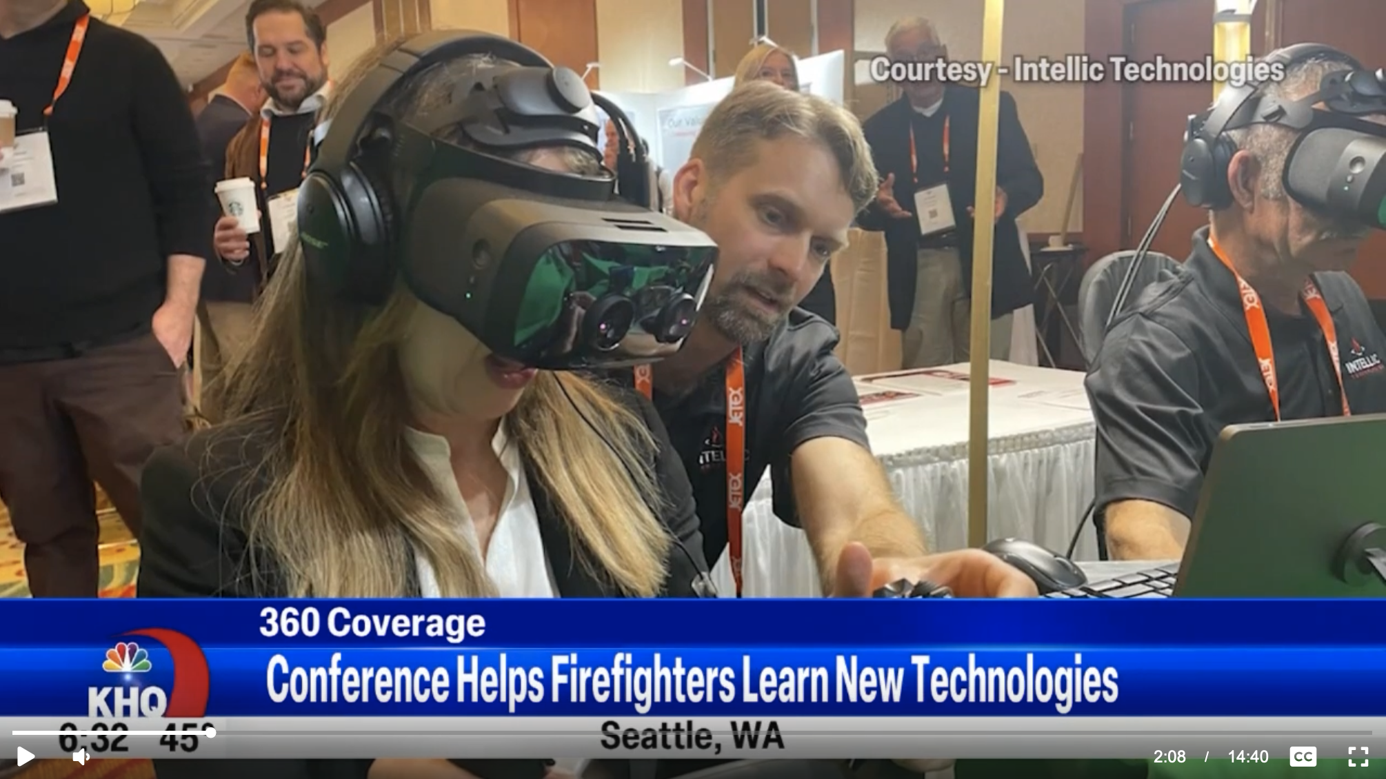
In The News: Non Stop Local news coverage from April conference.